Geography Is a Business Dimension. Use It Like One.
Whenever I demo Mapidea, the reaction is almost always the same — a mix of surprise, recognition, and disbelief.
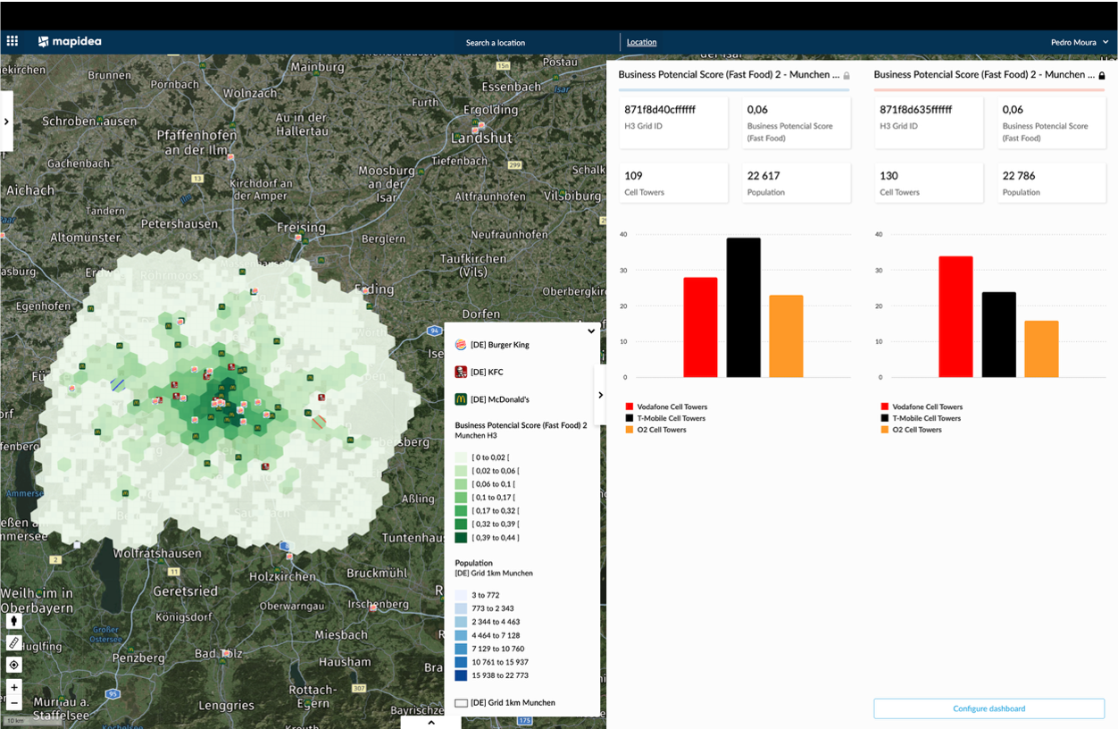
In just a few minutes, we load a company’s business data — customer lists, sales volumes, infrastructure, stores, deliveries, service points, you name it — and bring it to life on a map. Not just as pins or dots, but as geographic objects with business meaning.
We explore spatial patterns and relationships: where sales are concentrated or missing, where networks are underused, where customers are underserved, how catchment areas overlap, how regions perform differently. And we do it live, interactively, with dynamic filters and real data — not static slides.
That’s usually the moment when someone says: “I didn’t even know this was possible.”
And that’s the problem. Not because the technology isn’t ready — it is. Tools like Mapidea are enterprise-grade, cloud-native or on-premises, and integrate easily with internal systems, data lakes, AI/ML algorithms, and dashboard tools. They’re designed to be used by businesspeople, not just GIS specialists.
The issue is not technology. It’s mindset.
The maturity level of Geospatial Intelligence inside most companies is absurdly low, especially when compared to the sophistication and usability of the tools available today. Geography is still treated as something “special,” reserved for a few use cases or departments, instead of being embraced as a universal lens across the business.
That’s not a limitation. That’s a missed opportunity.
What If Geography Was for Everyone?
Now imagine a different scenario.
The CEO visualizes strategic expansion areas or compares regional performance at a glance.
The Sales team sees their territories, leads, and conversion rates mapped against actual customer density.
Marketing plans campaigns by analyzing population clusters, competitive presence, and footfall dynamics.
Operations and Logistics optimize routes, delivery zones, and service coverage using real-world spatial context.
Network and Infrastructure teams deploy and maintain assets based on demand density and usage patterns.
Even HR and Finance analyze workforce distribution, cost structures, and regional performance with spatial awareness.
All using the same intuitive platform. All working from the same updated data. All understanding not just what is happening, but where, why, and what to do about it.
That’s the power of geography when it's democratized. When it becomes part of daily decision-making. When it's not a specialist tool, but a core organizational capability.
The result? Compounded competitive advantage.
When every department acts with greater clarity, alignment, and speed, the organization becomes exponentially smarter. You stop reacting. You start anticipating. You stop guessing. You start optimizing.
And most importantly, you unlock value that would otherwise be invisible.
From One-Off Projects to Continuous Value
Today, most companies still use geography in an ad-hoc way. A territory analysis for sales. A network study. A site selection model. Usually outsourced. Usually done once. Usually shared in a presentation that no one revisits.
And then it’s gone.
But that’s geography used as an occasional tool — not as a continuous source of intelligence. And that’s a business problem.
Almost everything in your organization has a geographic component:
In Telecom, customers, competitors, coverage, and capacity are all spatial phenomena.
In Retail and Ecommerce, your catchment areas, delivery zones, and market potential vary from street to street.
In Banking and Insurance, risk exposure, fraud clusters, and service performance depend on location.
In Pharma, rep territories, prescription behavior, and distribution efficiency are geographic by nature.
In Utilities, outages, maintenance, and energy consumption are inherently spatial.
In Logistics, warehouse placement, route design, and SLAs depend on geography.
In Public Sector, everything from social policy to infrastructure investment needs a spatial lens.
So why are we still treating geography like a luxury, instead of the core dimension it clearly is?
If You Can’t Map It, You Can’t Lead It
We believe Geography should be treated as a strategic asset, accessible to the entire organization. As familiar as a spreadsheet. As dynamic as a dashboard. As integral as your CRM or ERP.
Geospatial Intelligence isn’t just for maps. It’s for making better decisions — across the board.
Because if you can’t map your business — really map it — then you and your entire organization probably don’t fully understand where you are. And if you don’t know where you are, you definitely don’t know where you’re heading.
And that, in today’s world, is not just inefficient. It’s a competitive risk you can’t afford to take.