“Old School” GIS is Dead! (is it really?)
Why It’s Time to Stop Painting Maps and Start Powering Decisions
For more than 30 years, tools like ESRI ArcGIS, MapInfo, and QGIS have defined what it means to “do geography” inside organizations. They are extraordinarily powerful - capable of building 3D city models, simulating flood risks, or calculating trade areas with surgical precision. The sheer power of geographic analysis can be mesmerising, and these tools work wonders in the right hands.
But let’s be honest: For 95% (99%?) of business users, these tools are simply unusable.
They’re technical, expensive, complex, and deeply disconnected from the daily questions that marketing, sales, or operations teams face.
And yet, many GIS departments still believe they’ve “covered” all geospatial needs in their company just because they own a few ArcGIS licenses (probably some still ‘decorating’ shelves) and can export some PDFs with pretty maps.
That belief is not just wrong — it’s dangerous.
The Myth of “We Already Have GIS”
In many organizations, GIS experts think their work is Geospatial Intelligence.
But while they’re buried under requests for one-off maps and ad-hoc analyses, hundreds of decisions across the company are made every day without any spatial insight at all.
That’s not the experts’ fault - it’s the model’s fault.
Classic GIS tools like ESRI ArcGIS, MapInfo, or QGIS were never designed to scale geospatial thinking across an organization.
They are built for experts, not for business users.
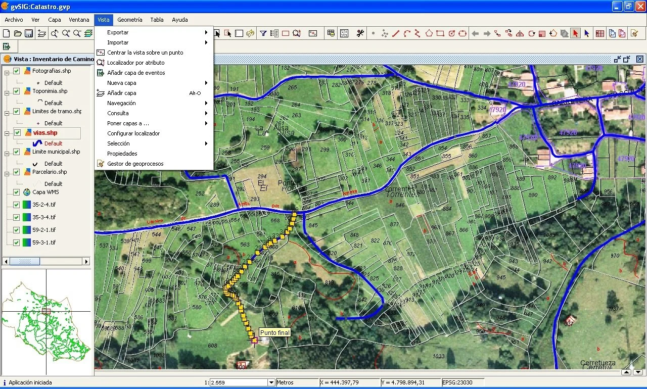
'Old School' Desktop GIS - Powerful but complex
And when geography stays locked inside the GIS department, the rest of the company continues to navigate blind.
The result?
A monstrous opportunity cost.
Old-School GIS vs. Web Geospatial Intelligence
| Old-School GIS (ArcGIS, MapInfo, QGIS, etc.) | Web Geospatial Intelligence (Mapidea, et al.) | |
|---|---|---|
| Purpose | Technical spatial analysis and cartography | Business decision-making powered by geography |
| Users | GIS specialists | Everyone — marketing, sales, ops, logistics, strategy |
| Accessibility | Complex software, licenses, training required | Browser-based, intuitive, no coding or GIS knowledge |
| Speed | Slow and manual, project-based | Fast and continuous, self-service analytics |
| Outputs | Static maps, PDF reports, shapefiles | Interactive dashboards, live maps, integrated insights |
| Scope | Local, project-specific | Organization-wide, collaborative |
| Role of GIS experts | Map producers, isolated | Data enablers, insight broadcasters |
| Value retention | Insights die in forgotten reports | Insights shared, reused, and multiplied daily |
Why GIS Experts Should Care
This is not a call to replace ESRI ArcGIS, Mapinfo, QGIS or other similar Desktop GIS software.
It’s a call to liberate the experts who use them from the repetitive, low-impact work of “painting maps on demand” and similar basic tasks.
When every request for a territory map or catchment analysis requires GIS intervention, experts become bottlenecks — not because they’re bad at their jobs, but because the system traps them.
By contrast, when organizations deploy Web Geospatial Intelligence tools, the experts’ role becomes more strategic:
Preparing clean, reliable geographic data and managing the geographic data architecture and repositories.
Developing and optimizing advanced geographic models, algorithms and frameworks.
Broadcasting data and insights across departments, ensuring geography is properly used - not admired as an exotic artifact.
Championing the widespread democratization of Geospatial Intelligence across the organization as a common, day-to-day practice.
The irony? The more GIS experts let go of “simple maps,” the more valuable they become.
Geography Belongs to Everyone
The real revolution isn’t technical — it’s cultural.
It’s about making geography a living layer of corporate intelligence, not a report filed away after a quarterly meeting.
When a marketing team can instantly map campaign results, when expansion managers can visualize store performance versus potential or when the eCommerce analysts can see the spatial pattern of their customers and understand their share of market and growth, Geospatial Intelligence becomes part of the organization’s bloodstream.

Web GIS - Drag'n'drop interfaces, touch devices, much less buttons and features
Old-school, classic GIS tools will always be essential for deep modeling, data preparation and more complex geographical analysis tasks.
But if those insights never leave the expert’s workstation, the organization gains nothing. Well, it gains negative points on the competitive chart.
The future belongs to companies where GIS experts prepare the ground, and everyone else walks on the map.
So, to every GIS experts and teams still living in the ArcGIS–MapInfo–QGIS comfort zone: Stop painting maps. Start powering decisions. Make Geography an objective and magnificient reality across your organization.